The Street Corner That Explains a Bursa District
A Bursa district street corner can help you connect landmarks, everyday routes, and gathering places, so your first walk feels easier to read.
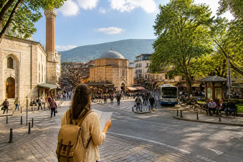
The common mistake when exploring a Bursa district is treating its best-known landmark as the whole map. A visitor who heads straight for a monument may miss how nearby lanes connect to a market street, a mosque, or a transit route, then waste time retracing the same stretch. A Bursa district street corner offers a better starting point: pause where routes meet and notice what each direction serves.
What does a Bursa street corner reveal?
A corner gathers clues that are scattered along a street. Look at the junction’s shape, the pace of people passing through, and the doors and storefronts nearby. A busy road may carry people across the district; a narrower lane with homes and small shops may serve local errands. Neither clue explains the whole area, but together they suggest how its parts relate.
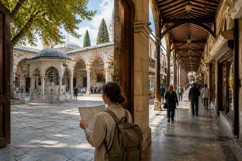
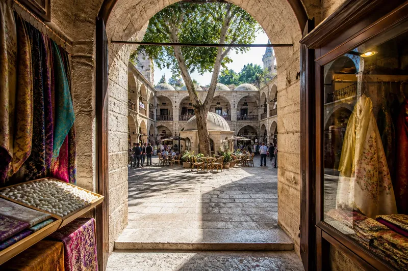
Bursa’s historic core offers a concrete way to read those relationships. Around Ulu Cami, the covered Koza Han and the surrounding market streets sit within a walkable cluster of public landmarks and working shops. Notice how a prominent religious building, a courtyard and commercial lanes serve as different kinds of anchors. The point is not to assume every Bursa district has the same pattern, but to see how a landmark can connect to the ordinary routes around it.
Choose a place where you can pause without blocking foot traffic: a mosque forecourt, a market entrance, a bus stop, or the edge of a small park. Think of the corner as a folded paper map. It cannot show every detail, but it gives you a steady orientation before you follow the smaller streets.
How do busy routes connect to everyday places?
Trace the district in broad strokes rather than memorizing every turn. Ask where the street leads, what draws people there, and where quieter routes begin. A main street may carry visitors and daily traffic past shopfronts, while a side lane leads toward homes, a courtyard, or a neighborhood gathering place. The change in pace is useful information.
Notice both public landmarks and everyday services. A mosque, fountain, market entrance, or open square can help you orient yourself; a bakery, pharmacy, grocery, or tea shop can show where daily errands happen. A useful mental map holds both kinds of place. A landmark tells you where you are, while a familiar service helps explain the street’s everyday role.
Gathering places also connect routes. A square may sit at a junction rather than at the end of a road, and a row of shops may link a transit stop with residential streets. These connections reveal more about the district’s shape than a list of isolated attractions.
Which questions help you read the corner?
Which route appears to carry people through the district?
Look for pedestrians, vehicles, or storefronts continuing beyond the junction. Follow the route only far enough to see whether it connects to another recognizable place, such as a market edge or transit stop.
Where can you pause without interrupting movement?
Look for a bench, a shaded edge, or an open area beside the route. If the corner is crowded, use a nearby park entrance or broad forecourt instead.
What changes when you leave the busiest street?
Compare the pace, sound, and building uses along a nearby lane. A shift from shops toward homes can indicate where the district’s commercial activity gives way to residential streets.
Which landmark will be easiest to recognize on your return?
Choose a distinctive feature, such as a mosque entrance, fountain, or park edge. Use it as your anchor rather than relying on several similar-looking lanes.
How can you turn those clues into a first walk?
Begin with a compact loop that returns to a recognizable point. From your chosen corner, follow the clearest street toward one gathering place, then return by a connected side lane if it is open and comfortable to walk. This gives you a chance to compare the busy route with a quieter part of the district.
- Observe whether the corner has a clear, continuous street; if it does, follow it toward a recognizable landmark, and if not, use a street sign or phone map to choose a legible route.
- Observe whether pedestrians can pause without blocking others; if they can, use that spot to orient yourself, and if not, move to a nearby open edge or forecourt.
- Observe whether a landmark is visible from the route; if it is, use it as a return anchor, and if not, choose a closer feature you can recognize from more than one direction.
- Observe whether shops and homes change along a side lane; if they do, note the transition as a clue to the district’s layout, and if not, return to the main route rather than guessing where the lane leads.
- Observe whether the return lane is open and comfortable to walk; if it is, use it to complete the loop, and if not, retrace the familiar street or choose another connected route.
- Observe whether your phone map agrees with the street’s broad direction; if it does, use it to confirm your bearings, and if not, stop at a safe place and check the map before choosing a turn.
Say you begin near Bursa’s Ulu Cami with a phone map showing Koza Han nearby. Your starting points are the mosque, the market streets around it, and the han as a recognizable destination. Walk from the mosque toward Koza Han, note the shop-lined route and the change in activity near its entrance, then return by the same streets if a side lane does not clearly reconnect. The resulting mental map is simple: Ulu Cami anchors one end, Koza Han anchors another, and the market streets link them. You gain a useful orientation without needing to claim that every nearby lane forms a complete loop.
Keep the walk flexible. If a street becomes difficult to follow or does not feel suitable for a relaxed stroll, return to the landmark you recognize and choose another branch. The aim is not to cover every street, but to learn how a few routes fit together.
What makes a mental map dependable?
Build the map from relationships, not isolated names. Remember that a mosque stands near a market route, or that a park lies beyond a busy road. These pairings are easier to recall than a sequence of turns, especially where streets look alike.
Give the district a rough shape in your mind: a busy route, a quieter side, and one or two gathering places connected to both. Add details as you walk. If a market street continues farther than expected or a lane opens into a courtyard, update your picture instead of forcing the new clue into your first impression.
A phone map can confirm the direction of a major road, but it cannot tell you where a pause feels comfortable or which shopfronts draw everyday activity. Let the map establish broad bearings and the street supply the local detail. A Bursa district street corner is most useful when it helps you make one sound choice at a time: where to begin, where to pause, and how to return.